Modeling Landscape Thresholds & Disturbance Corridors
Linear road density impact thresholds, wildfire compression corridors, and cutblock security buffers.
1. Linear Road Density & Access Thresholds
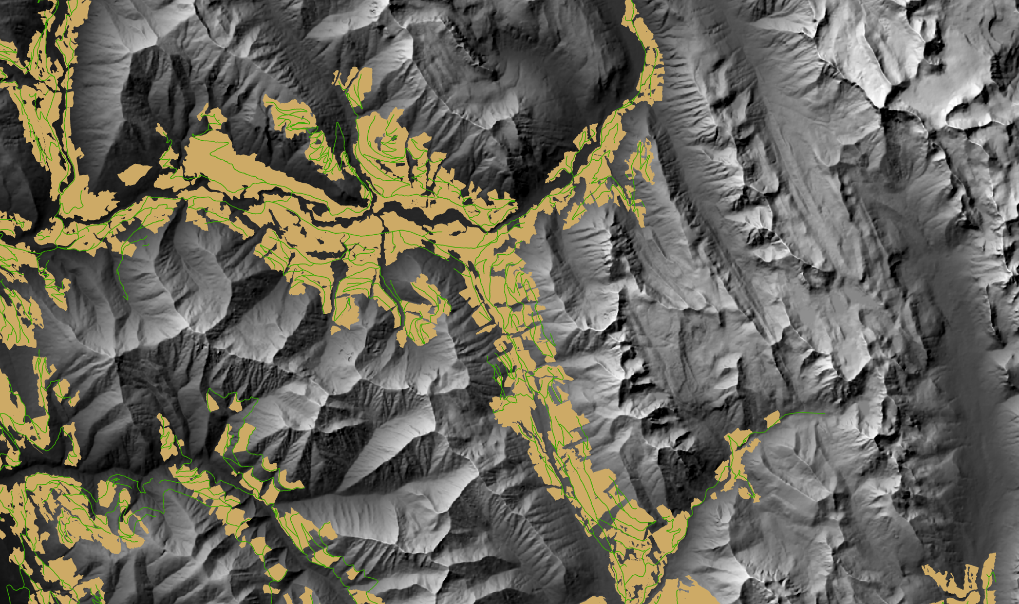
In industrial working forests, motorized roads fragment interior forest and elevate human-caused mortality for large carnivores. Across my projects, I summarized linear road networks across provincial management units to evaluate them against established ecological thresholds—such as the 0.6 km/km² road density limit established for female grizzly bear population persistence. In the Kootenays, I took this further by running a rule-based multi-criteria evaluation (MCE) to isolate inactive and abandoned roads on steep slopes (>15°), prioritizing 558.8 km of high-risk corridors for mechanical deactivation and soil ripping.
2. Wildfire Hazard & Movement Compression
Wildfires alter landscape connectivity by stripping protective forest canopy and displacing animals into unburned residual cover. Using Alberta’s historical fire database (1,230 fire incidents), I calculated a perimeter-to-area spatial constriction metric to identify fragile, narrow movement corridors and bottlenecks. Overlaying these pinched corridors with 500-meter road buffers revealed where wildfire displacement funnels moving wildlife directly into motorized transport infrastructure and human conflict zones.
3. Cutblock Overlays & Ecological Traps
Commercial forestry cutblocks regrow with heavy berry forage (5–15 years post-harvest) that pulls grizzly bears into open clearings to feed. Because these clearings were created by logging, resource roads run directly through or beside them. By intersecting 2020–2025 cutblock polygons with a 500-meter road buffer, I mapped 1,650 discrete conflict zones across the Southern Rockies where foraging bears are exposed to vehicle traffic, hunters, and poachers driving along open roads.